
tempo
Road
The fast, honest miles — pace on the tarmac, nothing to hide behind.
4:12 /km
A trail-running route planner and training community — build routes, read the elevation, track splits, and find your next race.

Three steps. No map-reading required.
Draw or import a route, and loopline plots the distance, vert, and grade before you step outside.
Your watch tracks the splits against the route — pace, heart, and where you pushed the descents.
Splits, elevation, and trends land in your log, so every run teaches you something for the next.
Hear the trail, lose the friction.
Draw a line and get distance, vert, and grade in one pass.
Every route comes with a profile you can actually read.
Your watch talks to the route, and the splits come back clean.
Find the next start line, filter by distance and vert.
Run with a group, or chase a KOM on your own loop.
Routes and profiles cached, so a dead zone never ends the run.
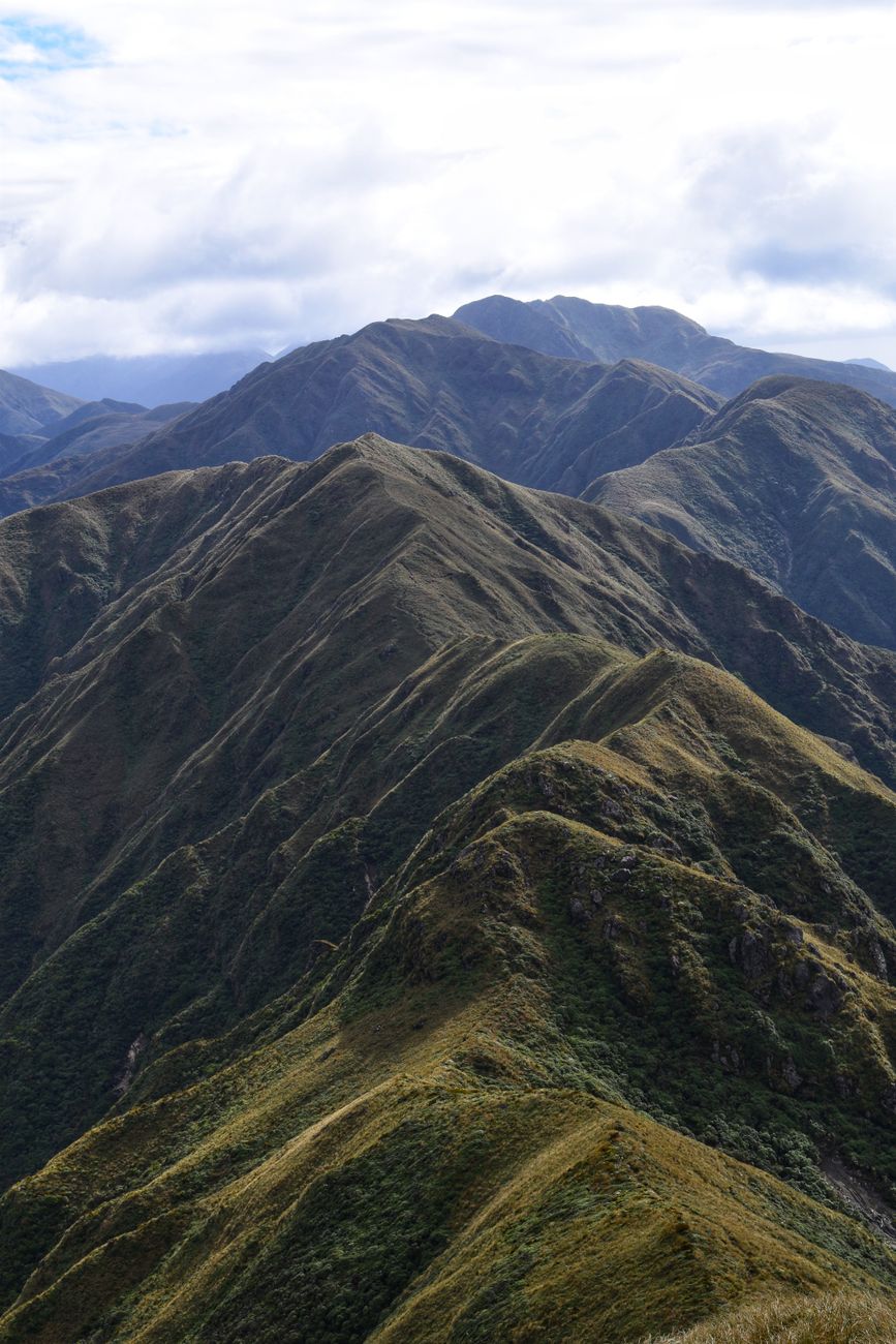
Shot where the vert actually happens.




The vert is the route.
Flat miles lie to you. The elevation profile tells the truth — where the climb starts, how long it holds, and what you'll have left for the descent. Loopline plots it before you ever lace up.
One stride at a time.
The surface decides the day.
The fast, honest miles — pace on the tarmac, nothing to hide behind.
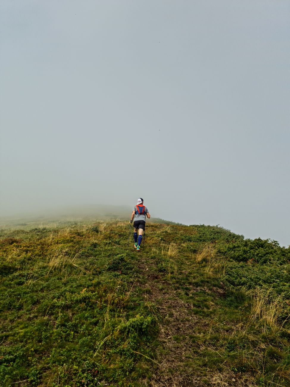
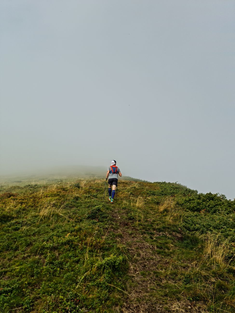
Singletrack that climbs and drops, and the quiet that comes with it.
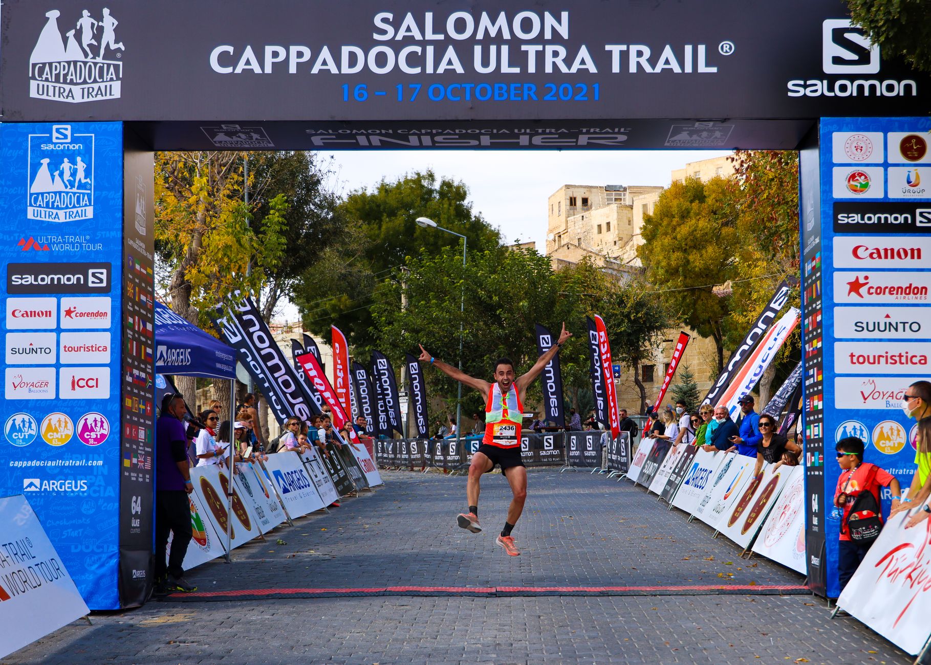
Fifty kilometers of eating while you move, and not quitting.

Laps that hurt, then the splits that make them worth it.
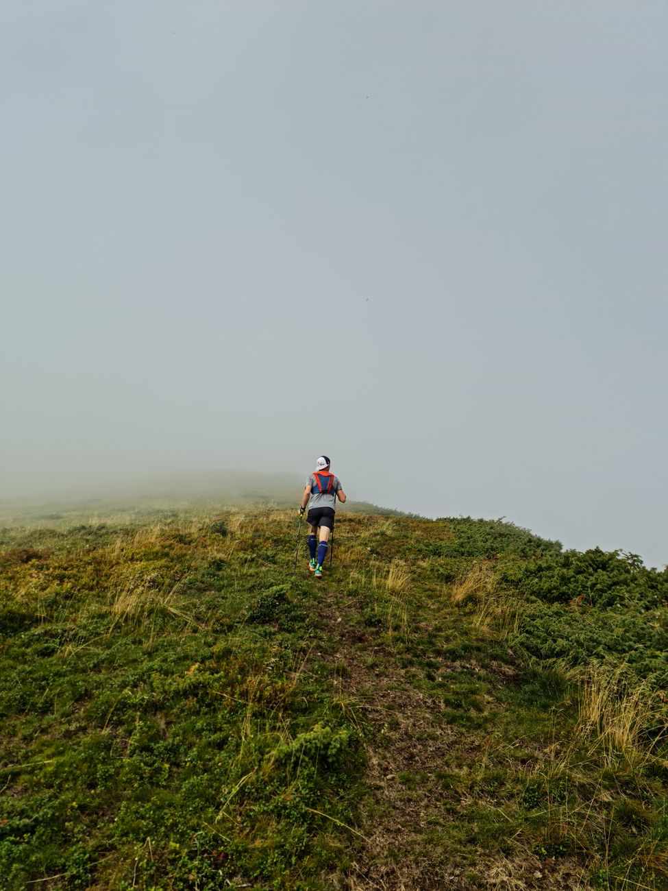
Every runner I know has a drawer of dead GPS files — routes that looked great on a map and turned out to be a cliff, or a river, or someone's driveway. The map was never the problem. The line was.
So we built the thing I wanted: a route planner that reads the elevation honestly, a watch that splits against the route instead of a guess, and a log that tells you — mile by mile — whether you're actually getting faster.
Find the line. That's the whole app. The rest is just running.
Live, from our backend.
People who found their line.
"The elevation profile alone is worth it. I stopped signing up for races I wasn't ready for."
"My watch finally splits against the route instead of guessing. Game changer for tempo days."
"Found my crew through the groups tab. Same pace, same 5am, same bad jokes."
Where we're going.
Route builder + elevation profiles + watch splits, live in beta.
Race calendar and results, synced to your log.
Community segments and KOM leaderboards.
Offline maps + turn-by-turn voice on the trail.